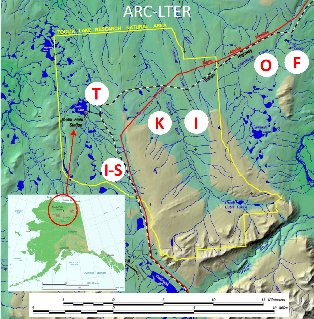
The Arctic LTER site includes the entire Toolik Lake watershed and the adjacent watershed of the upper Kuparuk River, down to the confluence of these two watersheds.
Additional sites include the 1000 km2 Anaktuvuk River (AR) Burn site 40 km NNW of Toolik Lake, Oksrukuyki watershed and thermokarst disturbances within helicopter range of Toolik Field Station (thermokarsts are slumps in the landscape caused by local thawing of ice in permafrost). This area is typical of the northern foothills of the Brooks Range, with no trees, a complete snow cover for 7 to 9 months, winter ice cover on lakes and streams, and no stream flow during the winter. For detailed information on the area see Toolik Field Station's Spatial and Environmental Data Center.